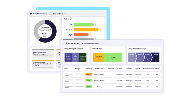
CivicView, the fully integrated Local Government management package, that has been developed by Insight Informatics and Kempsey Shire Council, can incorporate a Geographical Information System (GIS), such as MapInfo, in a way that has huge potential for environmental applications.
The ability of the system to produce any number of layers of maps means that Councils can now provide reliable and comprehensive information on many areas of land management. The benefits of being able to identify all contaminated areas within any given region are obvious.
Being able to ‘layer’ that information over any number of other maps produces a very powerful environmental tool that allows Councils to provide the sorts of services that are increasingly being demanded by ratepayers everywhere. Protection of the environment consistently rates very highly on any survey of voters’ concerns and Councils need to be conscious of this growing trend.
With CivicView, survey information from such sources as the National Parks and Wildlife Service can be incorporated into local maps to identify endangered species, outbreaks of noxious weeds or the location of specific types of native vegetation, among other things.
Similarly, surveys from the Department of Land and Water Conservation can easily be incorporated into existing Council databases to ensure appropriate land and water use within the region. Being able to assess land capabilities gives local authorities the means to be able to make the best possible use of all its resources.
As CivicView is able to use and integrate information from sources, both internal and external, Councils using it can be confident of providing a service that can do the right thing by their environment.
For further information visit the CivicView Website at www.civicview.com.au
*Copy supplied by Insight Informatics


