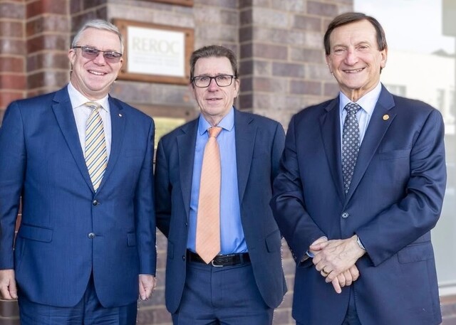
Frankston City Council’s GIS/GPS Projects Specialist, Paul Bormann, has been awarded the Australia and New Zealand Excellence Award by the Geospatial Information Technology Association (GITA).
Each year, one person is selected to receive the award, which recognises outstanding achievements using geospatial technologies. Paul created an application using Geographical Information System (GIS) technology that allows for significantly reduced response time to damaged and blocked pipes and drainage pits.
Like most Councils, Frankston City had previously struggled to keep accurate and accessible records on its drainage infrastructure, which comprises 32,000 drainage pits and several hundred kilometres of pipes. Paul’s system, which uses geospatial and GPS technology, has overcome many operational difficulties in locating drainage infrastructure in the field, as well as accessing, recording and improving data. Field workers can now enter inspection and maintenance data directly into a portable tablet computer. This has eliminated the use of outdated and inaccurate maps, along with the associated difficultly of updating maps by hand in the field.
Special mention was also given to David Welsh and Council’s City Works Team for their help in designing and implementing the GIS application within the drainage works program.

