Mildura Rural City Council was established in January 1995 as a result of the amalgamation of the former Mildura City Council and former Shires of Walpeup and Mildura. The new Municipality has the largest area, and with 46,000 residents one of the largest populations in country Victoria. It unites Mildura at the north west tip of Victoria with the vast acres of Mallee farm land as far south as the Big Desert National Park.
While the City is some distance from Melbourne, Sydney and Adelaide, it is uniquely situated at the crossroads of the three States – Victoria, South Australia and NSW. A flight to Melbourne takes just over one hour.
Travel and trade between many areas of Australia takes place via Mildura. The district itself has a rich local economy based on wheat farming, fruit growing, which is dependent on the Murray River irrigation system, and tourism.
While 87 percent of the population live in the townships of Mildura, Irymple and nearby Red Cliffs and Merbein, Council is intent on ensuring there is a spread of expenditure and services across the Municipality.
The concentration of the population at one end of the Rural City has implications for meeting infrastructure requirements, such as roads. However, it gives the more sparsely populated districts the advantages of being part of a larger organisation capable of generating higher revenue and providing more services. Smaller townships and community groups now have the advantage of grants for recreational and other purposes which were not possible in the past.
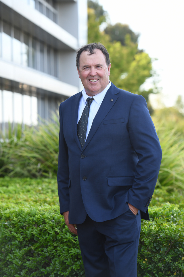
Chief Commissioner Hugh Delahunty describes the new Council as having ‘more horsepower’ to achieve greater efficiencies particularly with specialist staff and other resources which benefit all residents.


