Autodesk civil engineering solutions have a proven record in providing a cost effective combination of technology and services for planning, surveying, design, construction and strategic asset management. With worldwide distribution, Autodesk Infrastructure Solutions are used by a number of Local Governments in Australia.
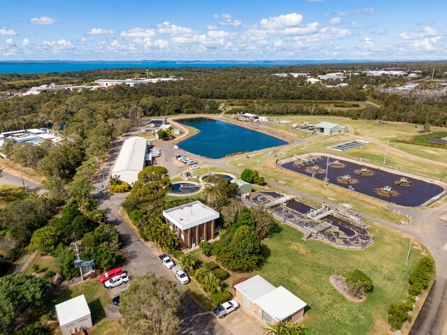
MidCoast Water increased efficiency using Autodesk software, with the MunSys suite of applications, from Open Spatial Technologies to more effectively manage its water and sewer assets.
MidCoast Water manages water and sewerage operations across two New South Wales Council areas – Greater Taree and Great Lakes. These Councils also collect information in GIS systems.
“We had been struggling to find a solution which would improve the quality of our data, while complementing the investments we had already made in our existing technology,” said John Skinner, Asset Manager at MidCoast Water. “Open Spatial came to us with a solution which included rigorous business rules and integrity checks for cadastral, sewer and water projects.
“A significant business impact of this solution is that we are now able to make decisions faster and with greater accuracy.”
Users have reported 50 per cent or greater productivity gains, translating into a better bottom line for Councils using Autodesk solutions.
Chris Bradshaw, Vice President Infrastructure Services Division, Autodesk, who was recently in Australia, said that productivity gains can come in the form of additional features; the ability to provide residents and ratepayers with more information; quicker services 24 hours seven days a week; and accessing information from home.
Autodesk will soon be releasing a new civil engineering solution in Australia that will bring further benefits to Local Government.
“Already used in building and manufacturing design, this model based, 3D paradigm will introduce a whole new way of doing civil engineering,” Chris Bradshaw said. “We are currently previewing this new system in a number of sites. The key is Autodesk working with the end users to see what they want from it and how they will use it to meet their organisational needs.”
He said Autodesk expects to start rolling out this new product in Australia in the second half of 2004.
“Whether we are working with Local Governments, an engineering firm or a supplier to Local Government, they are all now thinking very differently about the assets they are responsible for,” he said. “They want technologies that will extend the lifecycle of their assets, ensuring they are strategically managing their built infrastructure.
“When we worked with the Mayor of Taipai in Taiwan, he wanted his City to be ‘a compelling place for people to live’. As a result, 80 per cent of all city services are now available online.”
Chris Bradshaw said in the aftermath of September 11, as well as security issues, dealing with this major emergency highlighted the importance of spatial information and GIS systems, so that first response teams know exactly what they are dealing with.
“GIS is also vital for evacuation plans and disaster management, particularly with bushfires. If the response team at the Columbine High School massacre had had good floor plans more lives would have been saved.”
He said that communities are now demanding authorities have the technologies available so they are in a position to deal with major problems should they arise.