Covering 22,000 square kilometres, Clarence Valley has the largest coastal catchment in New South Wales. With the majority of the population living on the floodplain, Council’s business unit, Floodplain Services, is currently working on six major risk management plans for Grafton, Maclean, Ulmarra, Alipou Creek, Iluka and rural areas.
“Through a process of community consultation, the plans address measures appropriate for managing floods at each location and look at implementing new options including new levees and adjusting existing ones,” said Executive Manager Floodplain Services, Ian Dinham. “Plans also look at flood mitigation methods such as house raising, developing flood proof buildings (constructed with materials resistant to water damage), and floor level policies.”
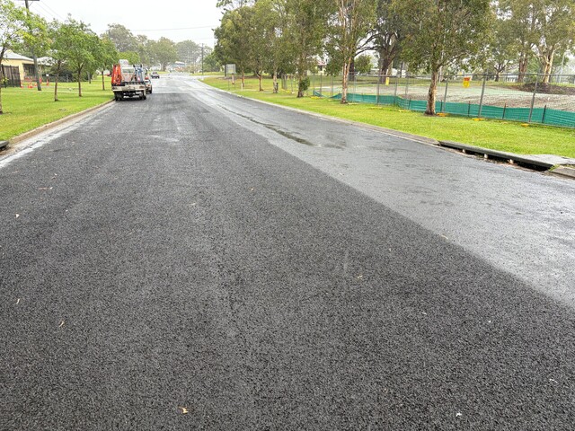
Council is also progressing on a program of construction works, such as levee rehabilitation at Grafton and rock armouring of Ulmarra’s riverbank.
Ian Dinham said Council is at the cutting edge of floodplain management planning and systems development.
“The Clarence Floodplain Management Plan aims to enhance management of Council’s flood mitigation infrastructure to improve agricultural production and related ecosystems in the lower Clarence Valley,” he said. “Over 160 flood gate drains and water courses feed into the Clarence River through acid sulphate soil areas. The active flood gate management program promotes better tidal exchange, reduces acid runoff and improves water quality and fish passage.”
Council has won several awards for the project, and papers presented at conferences and workshops have led to other areas, such as Kempsey and Richmond River County Council, commencing similar programs.


