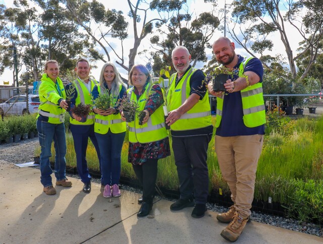
Greater Shepparton City Council in northern Victoria recently reviewed its roadside management strategy to ensure valuable native vegetation remains protected.
Council’s Manager Sustainability and Environment, Greg McKenzie, said since European settlement, more than 97 per cent of native vegetation has been cleared for agriculture and residential growth in the Greater Shepparton area. This has led to a significantly modified landscape, contributing to almost total destruction of some native vegetation types.
“Most of the remaining vegetation is along roadsides and is extremely important habitat for our local fauna and a vital source of biodiversity,” Greg McKenzie said. “There are significant risks to roadside vegetation, such as poor management during road works, soil disturbance leading to weed risks, collection of firewood, and stock movement.
“The roadside management strategy outlines best practice methods for roadside construction and landowners with adjacent property.”
Road reserves include important fauna habitat corridors and connections between isolated areas of bushland. They often represent one of the few remaining examples of intact ecosystems, where the remnant vegetation provides many services. They can provide a store for important genetic flora and fauna resources and are a source for seeds.
Road reserves can also provide protection for livestock on adjoining properties, assist in erosion control and influence water quality.
Shepparton’s Roadside Management Strategy was first developed in 2001, with the reviewed strategy adopted by Council in March.
“Part of the review process included the opportunity for the public to comment,” Greg McKenzie said. “The strategy is now presented in two user friendly formats, including a handbook for community members and one for road construction and maintenance activities.
“Our aim is to make people aware of the best ways to manage roadside vegetation to help protect valuable flora and fauna for future generations.”
The data used to determine the value of local vegetation has been incorporated into Council’s Geographic Information System (GIS).
In the future, Council plans to make this information available to residents via computer technology at the Council offices.
For further information contact Tracy Taylor, Council’s Sustainability and Environment Facilitator, on (03) 5832 9862.


