Research undertaken by 40 students at the Royal Melbourne Institute of Technology (RMIT) has found that much of Melbourne’s bayside residential areas are under threat from predicted sea level rises resulting from climate change.
Speaking at the 2009 National Local Government Asset Management and Public Works Engineering conference in April, Catherine Stutterheim, lecturer in Architecture and Design at RMIT, said that as well as some expensive real estate at risk, extensive public open space areas would also be lost.
Students created maps of the areas around Port Phillip Bay that would be flooded from a three metre rise in sea levels then set about designing ways to enable cities to mitigate impacts.
Catherine Stutterheim said there is great potential for infill works to protect vulnerable areas that would at the same time create more open space areas.
In spite of continual drought in Melbourne, just five years ago flooding of the Yarra River resulted from urban development and infrastructure unable to allow increased water flows to escape into the Bay.
A repeat storm event coupled with rising sea levels would threaten the railway yards and flood up into Flinders Street.
“Like many other major cities around the world, Melbourne is at the bottom of its own catchment,” Catherine Stutterheim said.
The students looked at ways to reduce this threat and at the same time trap and store some of the stormwater for reuse in parks, gardens and on reserves.
Students proposed that the current Docklands precinct be doubled in area, creating a new urban park. Large containers that double as seating would be used to store excess water.
Prior to European settlement, Melbourne’s Albert Park Lake was a vast lagoon. Until quite recently it has been filled using mains water. There is further potential for excess water to be stored here following filtration using wetland biosystem treatment.
Students suggested that by lowering sports grounds by one metre, those could be used for temporary catchments for water that could then be piped to the lake.
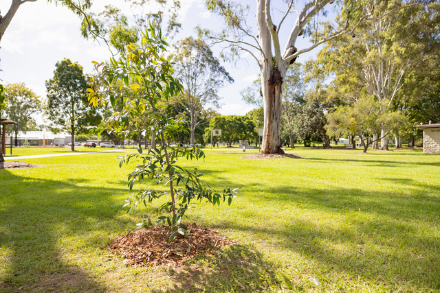
Similarly, median strips could also be lowered and used as temporary catchments to collect water for use on many of Melbourne’s trees that are now under threat.
“Because of the efficiency of our built infrastructure we are no longer so aware of where our water goes,” Catherine Stutterheim said. “But climate change and rising sea levels provides new opportunities to rethink the design of our infrastructure to reduce flooding and at the same time conserve precious freshwater.”
*Copy supplied by ACE CRC