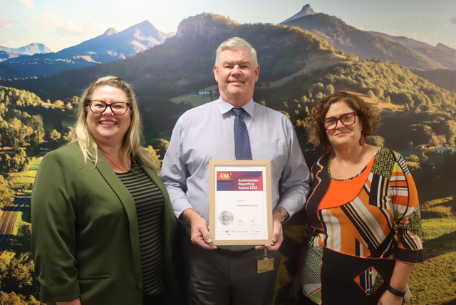
Alpine Shire Council’s Bushfire Attack Level (BAL) Plan iPad application has won the Spatial Enablement category at the prestigious Asia Pacific Spatial Excellence Awards.
The app is used by Council to assess the slope of land, surrounding vegetation and defendable space available to determine the Bushfire Attack Level of a property, and the most defendable site on which to build.
Council’s Manager Development Services and Amenity Nick Vlahandreas and Business Intelligence Officer Barrett Higman designed the app in partnership with application developers Book & Black Pty Ltd.
Mayor Peter Roper said the BAL Plan app was an innovative way to address bushfire management and safety in planning.
“Congratulations to everyone involved in developing this app, it’s a truly unique approach to an essential issue.
“Using this app, staff can quickly help landowners to establish the best site to build their home to give them the best possible chance of fighting bushfire attack and minimising the risk to life.
“In our climate and landscape, the capacity to take something crucial like a BAL and use technology to cut down the time and resources it takes to establish one, not only saves time and money but also makes our communities safer.”
The application was developed with funding from the Department of Transport, Planning and Local Infrastructure.
The Surveying and Spatial Sciences Institute present the Asia Pacific Spatial Excellence Awards annually and recognise the achievements of individuals and organisations engaged in the spatial information industry across the region.

