Technology is changing with Litchfield Council in the Northern Territory, redefining what it means to communicate in the workplace.
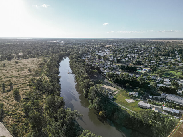
The Litchfield Municipality is situated on the outskirts of Darwin, amid tropical rural bushland, spread over 3,100km2.
Litchfield is rapidly growing, now offering larger land parcels for families and is currently home to over 21,000 people.
Litchfield residents enjoy a lifestyle that combines a mix of rural residential, horticultural, agricultural and industrial interests within its boundaries.
The Council has integrated its information technology systems including financial, assets, records and geographic information allowing staff to review all data sources simultaneously.
“The Council’s aim was to utilise our current information systems with new technologies,” said Information Manager Stefan Jurkijevic
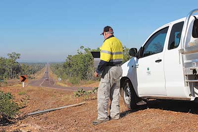
“We have an excellent in-house system, but as the region’s population and demands grow so does the need for our mobile officers to work remotely.”
This improved technology provides an integrated approach across Council’s departments in its delivery of services.
The implementation of this structure is complimenting their current in-house systems focusing on more accurate budget forecasting.
Mr Jurkijevic utilized the program Feature Manipulation Engine (FME) from Safe Software to integrate with their internal systems.
He created a series of scripts that takes the data from Council’s three main data storage programs; Civica Authority system, INfoXpert and Mapinfo and merges them together to suit Council needs.
By using FME Council was able to continue to use the programs that the Council staffs are trained in.
“What we were able to do was approach each process by looking at what Council staff were doing in their current workplace and then make slight changes to try and improve the process” said Mr Jurkijevic.
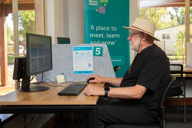
For example, the works department can now remotely put through a report at the roadside quickly using their iPad.
The mobile officer can report the data, take an image and ‘drop a pin’ for the location on the map, all using the iPad.
The systems communicate with each other through the FME scripts set up by Jurkijevic.
The information is layered and then viewed on iPads by the mobile officers via Google Earth.
Jurkijevic is currently opening up the systems to ‘talk’ with Twitter, this allows some of the information to be Tweeted out via the data systems without staff intervention.
“What we plan to do is have a system that lets customers know what problems are out in the field.
“With our Twitter feeds from Authority we will also have the location of the issue to help the customer know what is happening in their area.”
The FME takes the process and tries to automate it as much as possible.
Data is being updated in the Geographic Information System automatically from the information added to Authority.
But FME also does something else; it gives greater flexibility on the output.
These new developments have placed Council at the forefront of Local Government Councils and State Governments across Australia and in this regards, Litchfield Council and its staff have received numerous national accolades for the introduction and implementation of these technological achievements.