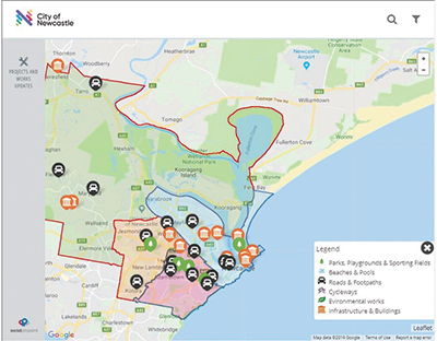
City of Newcastle, New South Wales, has launched a new interactive mapping tool to help residents track the latest civil works projects happening across the local government area.
From large road maintenance activities to major development projects, the interactive map provides a location and overview of the types of activities the City is delivering – all on the one page.
Its intuitive design makes it easier for people to stay informed and in touch with the City’s 2018-19 Civil Works Program.
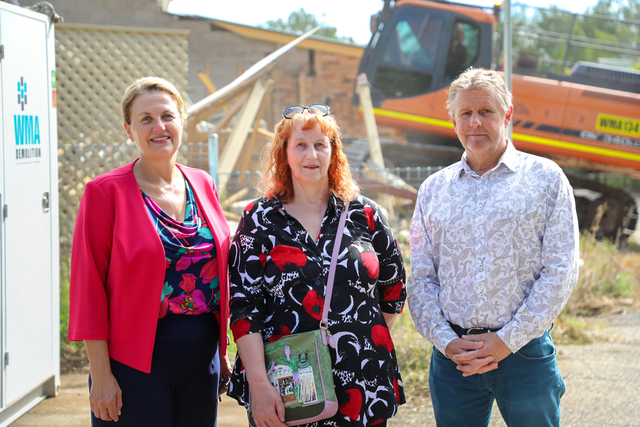
Lord Mayor, Nuatali Nelmes, said, “This online mapping tool will streamline communication to residents and fastrack important information about the current projects that have commenced.
“By simply logging on to the City’s Civil Works Update page, users can get an instant snapshot of the various works that are taking shape across the City in real time.”
A number of significant projects which will be delivered before 30 June include a $7.1 million upgrade of local bridges, $8.2 million towards Newcastle’s Smart City program, $8.1 million to renew and upgrade the existing storm water network and $7.9 million on a solar farm to be built at the Summerhill Waste Centre.
Renewing parks, open spaces and sporting facilities ($5.4 million), allocating money to cultural facilities ($5.1 million) and increasing cycling links around the City ($2.6 million) are also included in the delivery program.