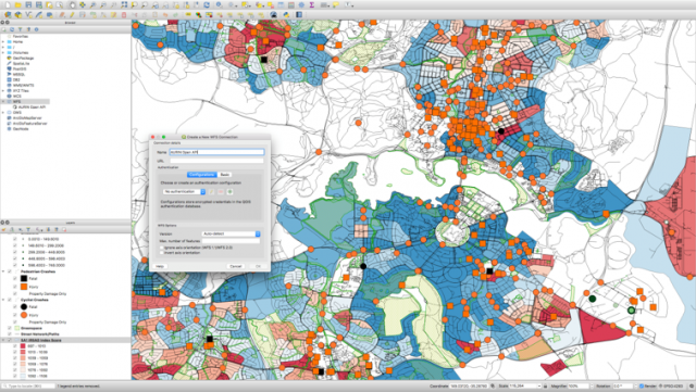
Aurin provides eInfrastructure and expert eResearch support for urban, regional and social science researchers in academia, government and industry.
They facilitate the development, deployment and long-term support of advanced data, analytical methods, simulation models and visualisation capability for the adoption of high-impact research within government and industry across Australia.
The company aims to provide robust eInfrastructure of advanced analytics, simulation modelling and visualisation platforms for eResearch. Direct access to high-quality, spatially enabled, national-scale data assets covering economics, population, health, housing, transport, climate impacts, social policy, critical infrastructure, planning and land use. A collaborative network of leading researchers and data providers across the public and private sectors delivering translational urban, regional and social science research. A leading-edge data science service delivering 3D, real-time and high-resolution image data of our cities and regions. A set of leading professionals and experts in the design, development, deployment and support of eInfrastructure/ eResearch, including user-focused training and support.
Aurin positions themselves to inform evidence-based research, policy and decision making. Improve the sustainability of our settlements by better understanding the physical and social aspects of built environments, including urban resource use and management. Encourage more research to support urban resource management and policy decisions by making information easier to access. Improve their ability to model and visualise social and environment interactions and improve Australia’s ability to undertake collaborative research domestically and internationally.
Their data covers: housing, health, transport, climate, infrastructure, economic, liveability, demographics, planning and land use.
With data made available through AURIN, researchers at the University of New South Wales (UNSW) are working to incorporate more detailed features of the built environment into existing climate models. This will provide a basis for a better understanding of how urban areas both impact and are impacted by climate change.
Having more accurate models of urban areas will assist in developing appropriate mitigation and adaptation measures to support better and healthier cities and regions.
For more information go to aurin.org.au.

