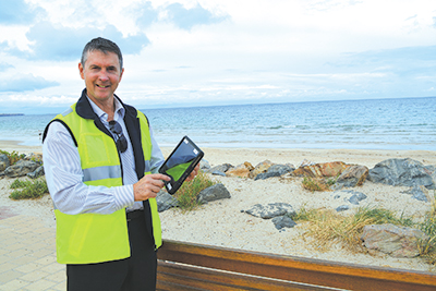
The City of Holdfast Bay is utilising mobile technology in the field to help track and manage assets.
Safe, reliable, high-quality service provision in local government depends on well-maintained infrastructure assets and facilities, skilled people and good management. This requires a robust data management system that helps track where assets are, what condition they are in and what they are costing over the short and long term.
A new enterprise asset management system is helping the City of Holdfast Bay to achieve this, while overcoming the inefficiencies inherent in a previous, largely paper and spreadsheet based asset management system.
Stage one of the project commenced in June 2014.
This involved creating an integrated workflow from customer requests to depot work orders; and consolidating all data across all asset classes into one live asset register.
The City chose to build on enterprise software platform strategy using Technology One’s suite of applications. Enterprise Asset Management uses the same database and product look and feel as the Finance, Property and Rating and HR/Payroll systems, which has facilitated rich integration and enhanced user familiarity during implementation.
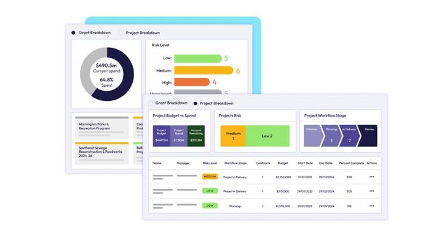
Implemented in October 2015, the new, integrated system is already providing more streamlined workflow. Service requests taken by the Customer Service team are automatically logged as work orders that, after assessment, are scheduled to work crews – reducing paperwork, communications and site visits. Customer Service staff can track the status of the work right through the process. When a work order is completed, the service request is closed in the system and the customer contacted.
Perhaps the most revolutionary aspect of the project has been the introduction of mobile technology in the field. Tablets used by work crews, together with an open source Geographic Information System (GIS) product called QGIS, have transformed the way they receive, document and complete work orders. The GIS product, accessible via a web browser and within the mobile work orders system, has immensely improved capacity to locate assets, capture data, evaluate current information, identify problems, develop appropriate solutions and update details on-site – which all helps to provide a clearer picture of operational costs and keep assets register live and up to date.
The City looks forward to commencing the project’s next stages, which will include expanding the use of the system across all other council departments and asset related projects, and implementing a strategic asset management module with forward planning processes.


