Tweed Shire Council in New South Wales has introduced improved mapping tools, providing easy-to-access information for residents and businesses.
The new cloud-based web mapping tools replace Council’s six-year-old Tweed Maps service and will provide easy to use, access 24 hours a day from a phone, tablet or computer.
Environmental, planning and property information is now available via the recently re-launched smart phone and tablet-friendly mapping applications.
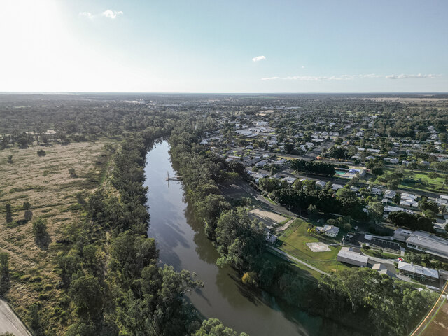
Improvements have been made to the mapping websites to provide easy access to property information, planning details, flood zones and community services and facilities.
“These interactive mapping tools are really user-friendly and provide practical information for businesses and the community to access quickly and easily,” said Council’s Manager Information Technology, Ken Holdsworth.
“This new section of the Council website allows residents, business operators and community groups to view geographic information, find features and points of interest, and print maps.
The three mapping applications are: Property Information, which includes property boundaries, imagery and contours, aerial photography; Planning, which allows users to visualise and access information about planning constraints, bushfire prone land, flooding and also link to environmental data; and Community Services, which covers public facilities, council parks, schools, community halls and amenities.